
Altitude Imaging
Unmanned Services that work for you!
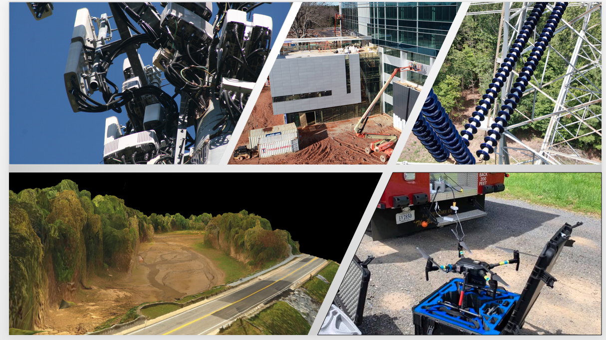
Drone Services

Electric Utilities
Altitude Imaging provides a litany of services to electric services providers - visual inspections, right of way inspections (Photogrammetry, 2D/3D stitching, LiDAR, Thermography, videography, etc.) for both distribution and transmission line and pole, substation, solar, and wind structures.
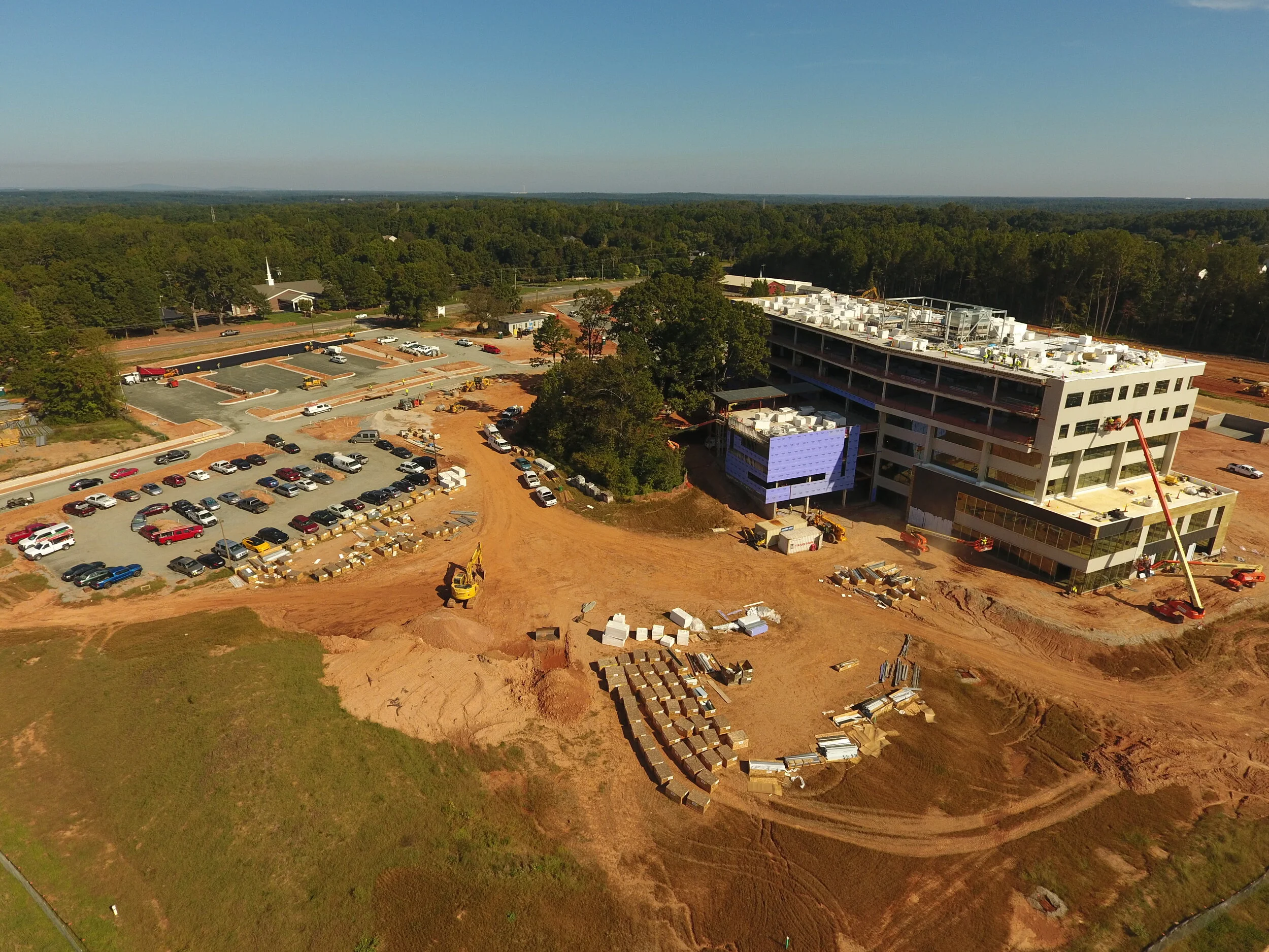
Construction
Altitude Imaging provides construction progress imaging (video/photo) is vital to maintaining your construction project timeline. With drone’s, construction companies, managers, site foreman, and project developers can maintain situational awareness and maintain their timeline on a desired interval basis.
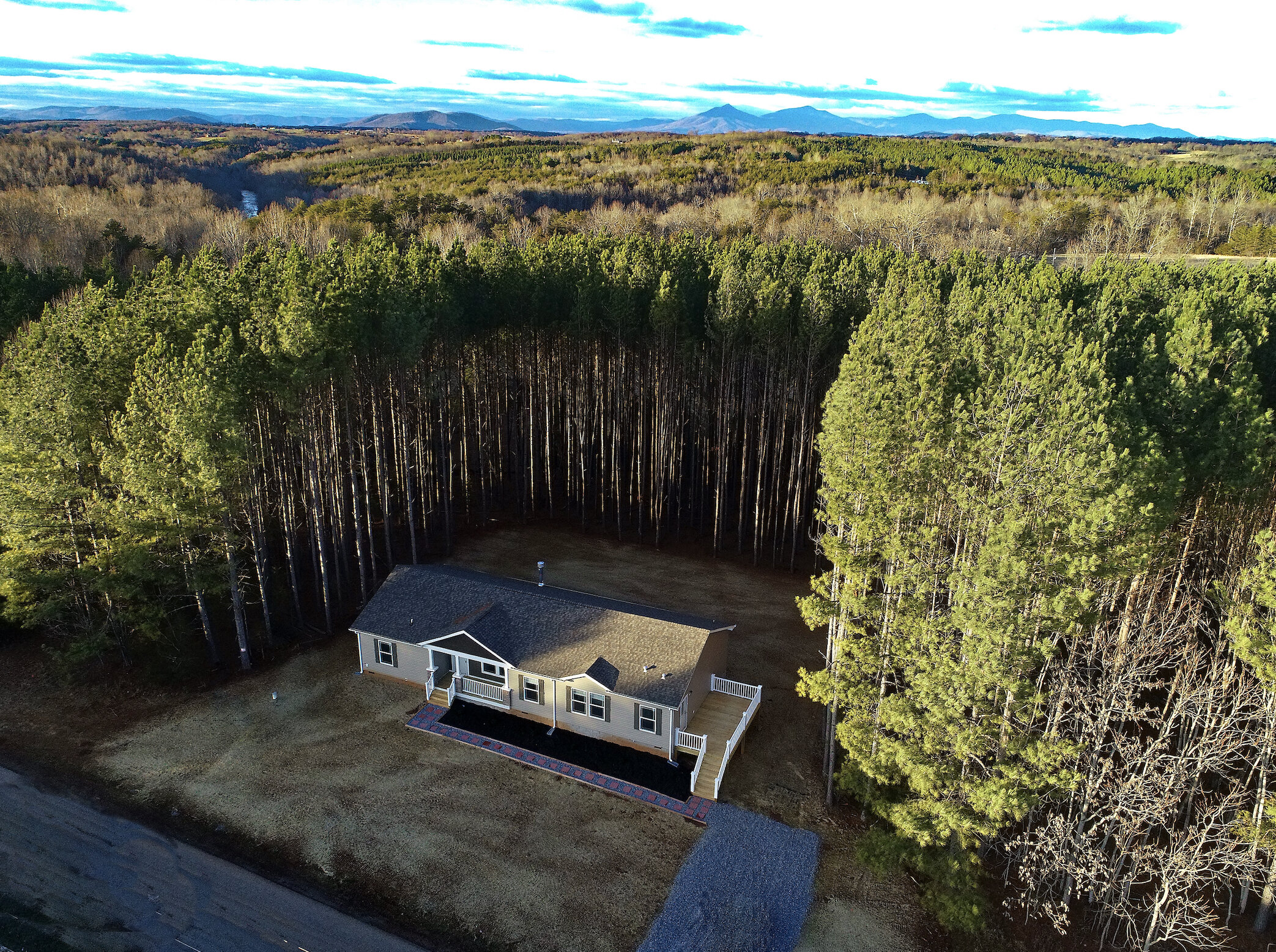
Real Estate
Altitude Imaging provides real estate imaging and video’s for real estate sales. Altitude can capture the beauty of your property and home to assist you in its sale.